
Draft model
Elizabeth Tower
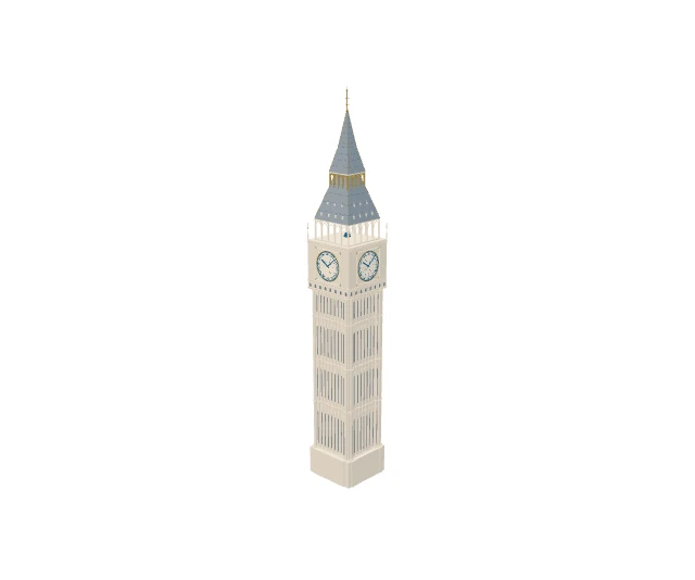
Interactive preview loads only when you ask.
Open, with provenance.
CC BY applies to original artistic contributions only; ODbL applies to OSM-derived spatial data. Reference photographs retain their own licenses. Dimension evidence from https://www.parliament.uk/about/living-heritage/building/palace/big-ben/facts-figures/, https://www.parliament.uk/mps-lords-and-offices/offices/commons/media-relations-group/news/north-dial-of-the-elizabeth-tower-revealed/ retains factual measurements; source documents are linked, not redistributed.
Open Landmarks; contains © OpenStreetMap contributors, ODbL-1.0; Architectural measurements from the linked official sources. Read the licensing guide.
AI-assisted architectural interpretation and procedural recipe authoring; deterministic Python/Blender export. No photographic textures.
Visual references
- Elizabeth Tower and the north front of the Palace of Westminster, London.jpg — Christian David, CC BY-SA 4.0
- 06 2023 Exterior of Elizabeth Tower IMG 7513.jpg — Alexander-93, CC BY-SA 4.0


Review status
This model is a prototype. Structural validation passes; footprint, appearance, map integration and rights still need approval.
Revision a753f2b89a4c2517