
Draft model
The Gherkin (30 St Mary Axe)
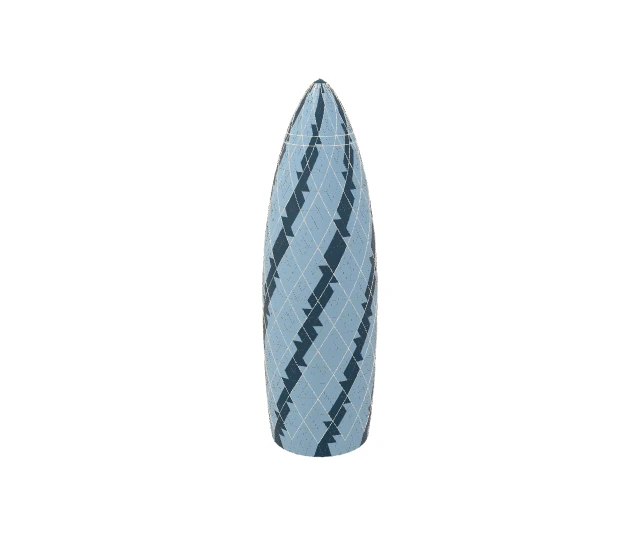
Interactive preview loads only when you ask.
Open, with provenance.
CC BY applies to original artistic contributions only; ODbL applies to OSM-derived spatial data. Reference photographs retain their own licenses. Dimension evidence from https://www.cityoflondon.gov.uk/things-to-do/architecture/modern-architecture/30-st-mary-axe-the-gherkin, https://www.buildingthegherkin.com/pdf/fosterandpartners.pdf retains factual measurements; source documents are linked, not redistributed.
Open Landmarks; contains © OpenStreetMap contributors, ODbL-1.0; Architectural measurements from the linked official sources. Read the licensing guide.
AI-assisted architectural interpretation and procedural recipe authoring; deterministic Python/Blender export. No photographic textures.
Visual references
- 30 St Mary Axe from Leadenhall Street.jpg — Aurelien Guichard from London, United Kingdom, CC BY-SA 2.0
- London UK Gherkin-01.jpg — CEphoto, Uwe Aranas, CC BY-SA 3.0


Review status
This model is a prototype. Structural validation passes; footprint, appearance, map integration and rights still need approval.
Revision e6f22b22a3970ae3